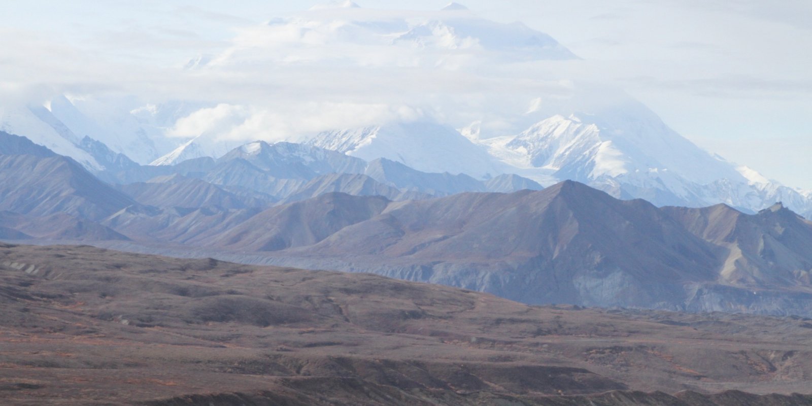
Major Land Resource Area 226X
Aleutian Islands-Western Alaska Peninsula
Accessed: 10/09/2025
Next steps
-
1
Select an ecological site
Select an ecological site using the list, keys, photos, briefcase, or quick search option located on this page. -
2
Explore the ecological site description
Next, learn more about the selected ecological site and its characteristic dynamics by browsing the ecological site description and exploring alternative state and transition model formats.
Ecological site list
-
-
-
-
-
-
-
-
-
-
-
-
-
-
-
-
-
-
-
-
-
-
-
-
-
-
-
-
-
-
-
-
i
Key Characteristics
- Soils not associated with water driven sites.
- Volcanic landforms and parent material (lava flows) and volcanics weathering in place.
- Volcanic landforms including volcanic cones and lava flows
-
i
Key Characteristics
- Soils associated with coastal, lowland, and upland water driven sites.
- Coastal soils
-
i
Key Characteristics
- Soils associated with coastal, lowland, and upland water driven sites.
- Inland (freshwater) ecological sites
- Riparian and lake shore soils, with flooding the dominant driver of the system. Water table may be present, and ponding may occur in isolated areas.
-
i
Key Characteristics
- Soils not associated with water driven sites.
- Volcanic landforms and parent material (lava flows) and volcanics weathering in place.
- Volcanic influenced soils
- Soils on steep soils with ash influence or derived from basalt and tephra on steeply sloping mountains and dip slopes.
-
i
Key Characteristics
- Soils not associated with water driven sites.
- Landforms other than volcanic, with potential for secondary volcanic influence
- Steep, eroded or shallow soils
-
i
Key Characteristics
- Soils not associated with water driven sites.
- Landforms other than volcanic, with potential for secondary volcanic influence
- Lower sloping and depositional soils
- Eolian or wind deposited soils on hills and plains.
-
i
Key Characteristics
- Soils not associated with water driven sites.
- Landforms other than volcanic, with potential for secondary volcanic influence
- Lower sloping and depositional soils
- Alluvial or other depositional soils
- Hill slopes and dip slopes gentle rolling meadows. No water table, dry upland communities at low elevations.
-
i
Key Characteristics
- Soils not associated with water driven sites.
- Volcanic landforms and parent material (lava flows) and volcanics weathering in place.
- Volcanic influenced soils
- Organic soils on lower to moderately sloping landforms (hills, plains, terraces, dipslopes). With at least a 2-inch organic cap. Influenced by Ash and/or tephra.
-
i
Key Characteristics
- Soils not associated with water driven sites.
- Landforms other than volcanic, with potential for secondary volcanic influence
- Lower sloping and depositional soils
- Alluvial or other depositional soils
- Soils developed on terraces and floodplain steps
-
i
Key Characteristics
- Soils associated with coastal, lowland, and upland water driven sites.
- Inland (freshwater) ecological sites
- Soils driven by ponding and a fluctuating water table. Site associated with depressions and organic soils on upland positions.
Ecological site map
Basemap
Find me
Find point
Full screen
Zoom in to display soil survey map units for an area of interest, and zoom out to display MLRAs. Select a map unit polygon to view ecological sites correlated to that map unit. View a brief description of an ecological site by clicking on its name in the map popup. Soil survey correlations may not be accurate, and ecological site classification of a location should always be verified in the field. Each selection may require the transfer of several hundred KB of data.
Ecological site keys
Ecological site photos
Print Options
Sections
Font
Other
Briefcase
Add ecological sites and Major Land Resource Areas to your briefcase by clicking on the briefcase (![]() ) icon wherever it occurs. Drag and drop items to reorder. Cookies are used to store briefcase items between browsing sessions. Because of this, the number of items that can be added to your briefcase is limited, and briefcase items added on one device and browser cannot be accessed from another device or browser. Users who do not wish to place cookies on their devices should not use the briefcase tool. Briefcase cookies serve no other purpose than described here and are deleted whenever browsing history is cleared.
) icon wherever it occurs. Drag and drop items to reorder. Cookies are used to store briefcase items between browsing sessions. Because of this, the number of items that can be added to your briefcase is limited, and briefcase items added on one device and browser cannot be accessed from another device or browser. Users who do not wish to place cookies on their devices should not use the briefcase tool. Briefcase cookies serve no other purpose than described here and are deleted whenever browsing history is cleared.
Ecological sites
Major Land Resource Areas
The Ecosystem Dynamics Interpretive Tool is an information system framework developed by the USDA-ARS Jornada Experimental Range, USDA Natural Resources Conservation Service, and New Mexico State University.